Knowledge Wellbeing Innovation (KWIN) City

Knowledge Wellbeing Innovation (KWIN) City

Urban Knowledge Ecosystem
KWIN City responds with an integrated masterplan where education, healthcare, research and enterprise become part of everyday urban life.

Location
BANGALORE, KARNATAKA
Typology
MASTERPLANNING
Scale
EXTRA LARGE
Site Area
5800 ACRES
Status
TENDER STAGE
Client
GOVERNMENT OF KARNATAKA
Team
Akash Fogla, Dhanush C, Shikha Das, Piyush Kanted, Rosy Jose, Devashish Ojha, Suraju Sugathan, Razlan Mohammad, Kiran, Swasthik Shetty, Vishwas Achar, Mohan Raj, Allen Daniel Christopher, Srividya Muralidhar, Ashish Supakar, Robin Mohapatra, Preeti Mudaliar, Neha Vedaprakash, Sumukha Achar, Sagar LM, Sherin Sara Joseph, Rakesh Chandra, Alok Shetty

Knowledge Wellbeing Innovation (KWIN) City is envisioned as a next-generation urban district that brings together education, healthcare, research, technology, and industry within a single integrated framework.

Spread across 5,800 acres on the outskirts of Bengaluru, the masterplan explores how future cities can create environments where knowledge, innovation, and everyday life evolve together.

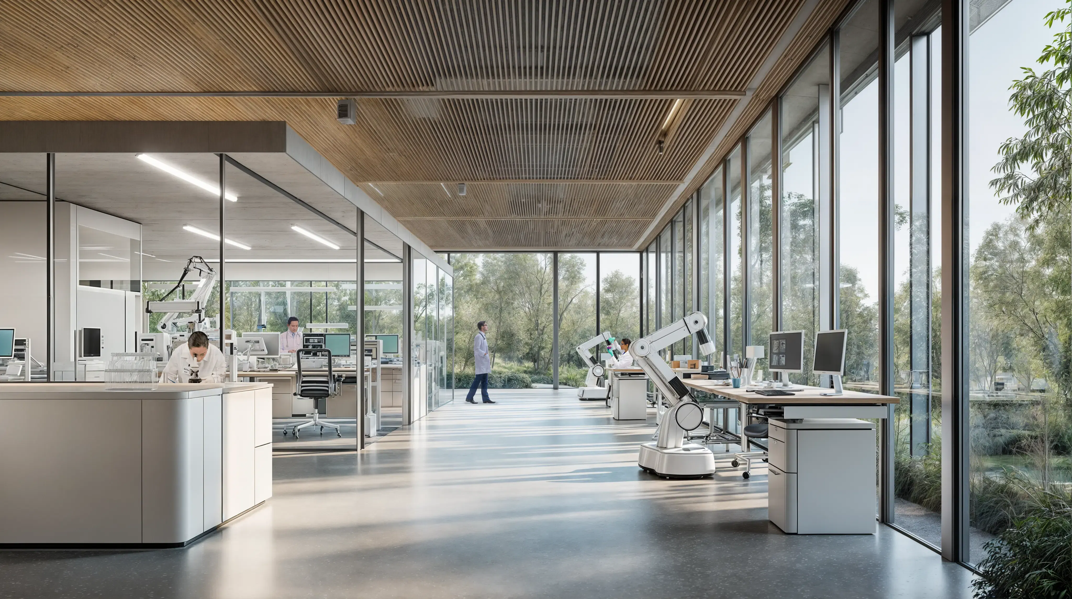
Rather than planning individual institutions in isolation, the proposal establishes a connected urban ecosystem where universities, research centres, healthcare facilities, technology campuses, industries, housing, and public spaces support one another. The masterplan recognises that innovation grows through interaction between people, disciplines, institutions, and the city itself.

The vision is to create an environment that is adaptable, resilient, and capable of supporting future generations of learning, research, entrepreneurship, and community life. Positioned within one of India's most dynamic economic regions, KWIN City aspires to attract global talent, investment, research, and enterprise while establishing a new benchmark for knowledge-led urban development.
project overview
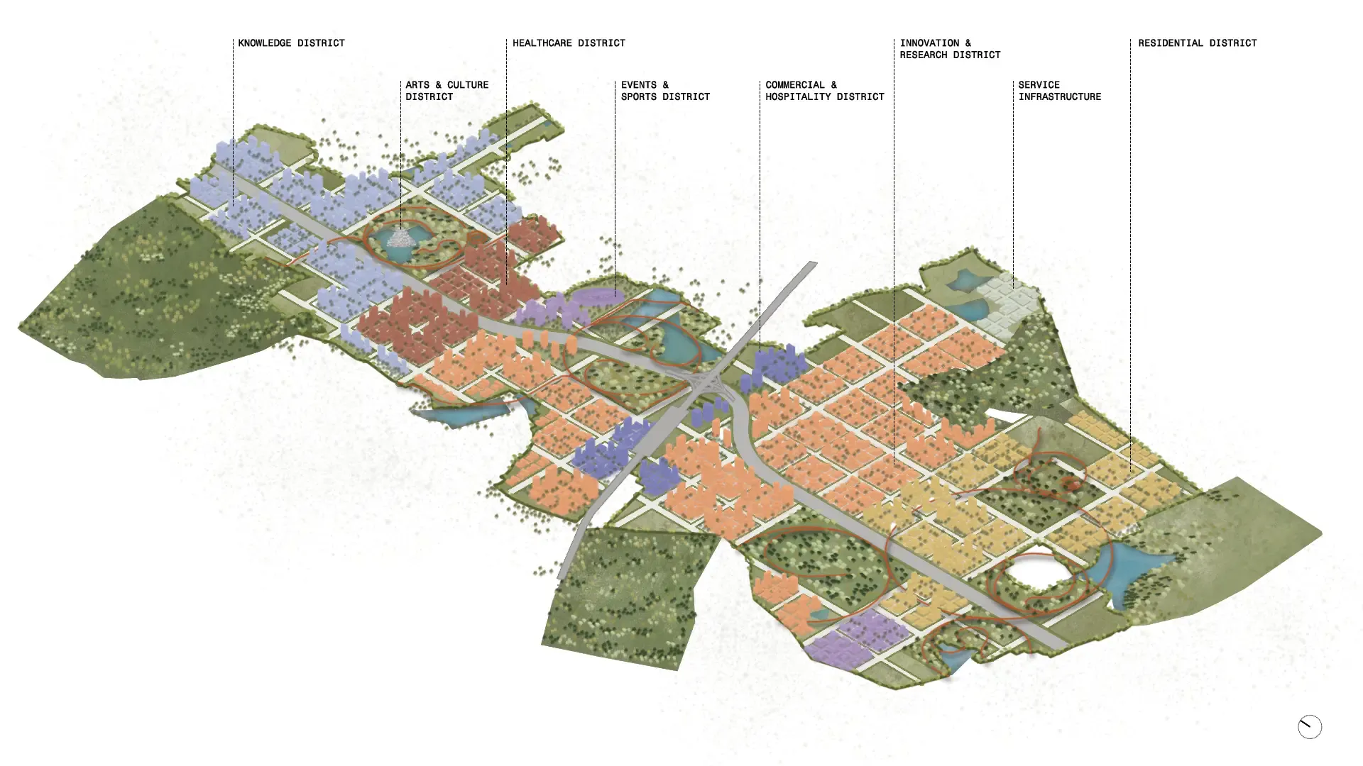
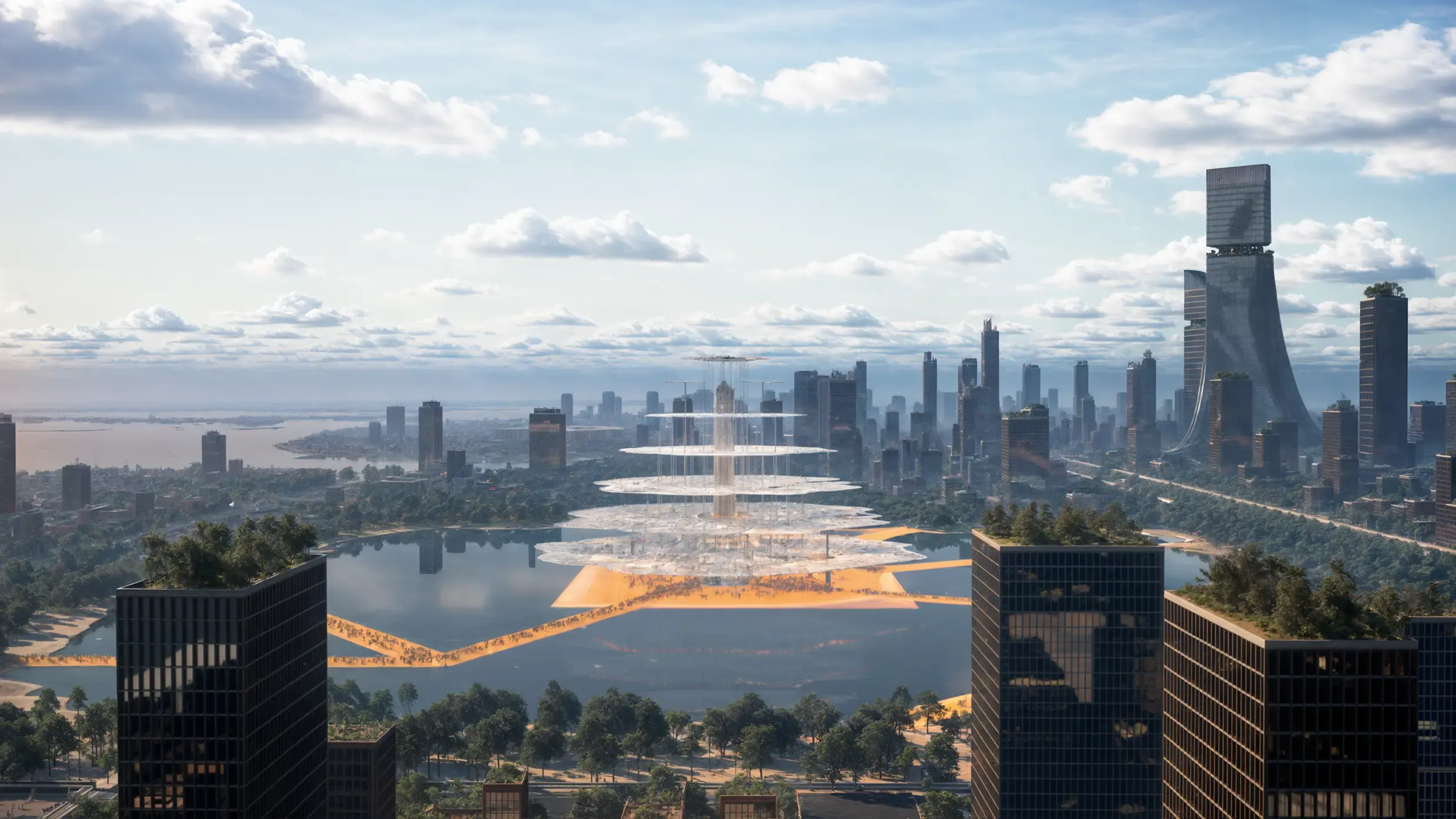
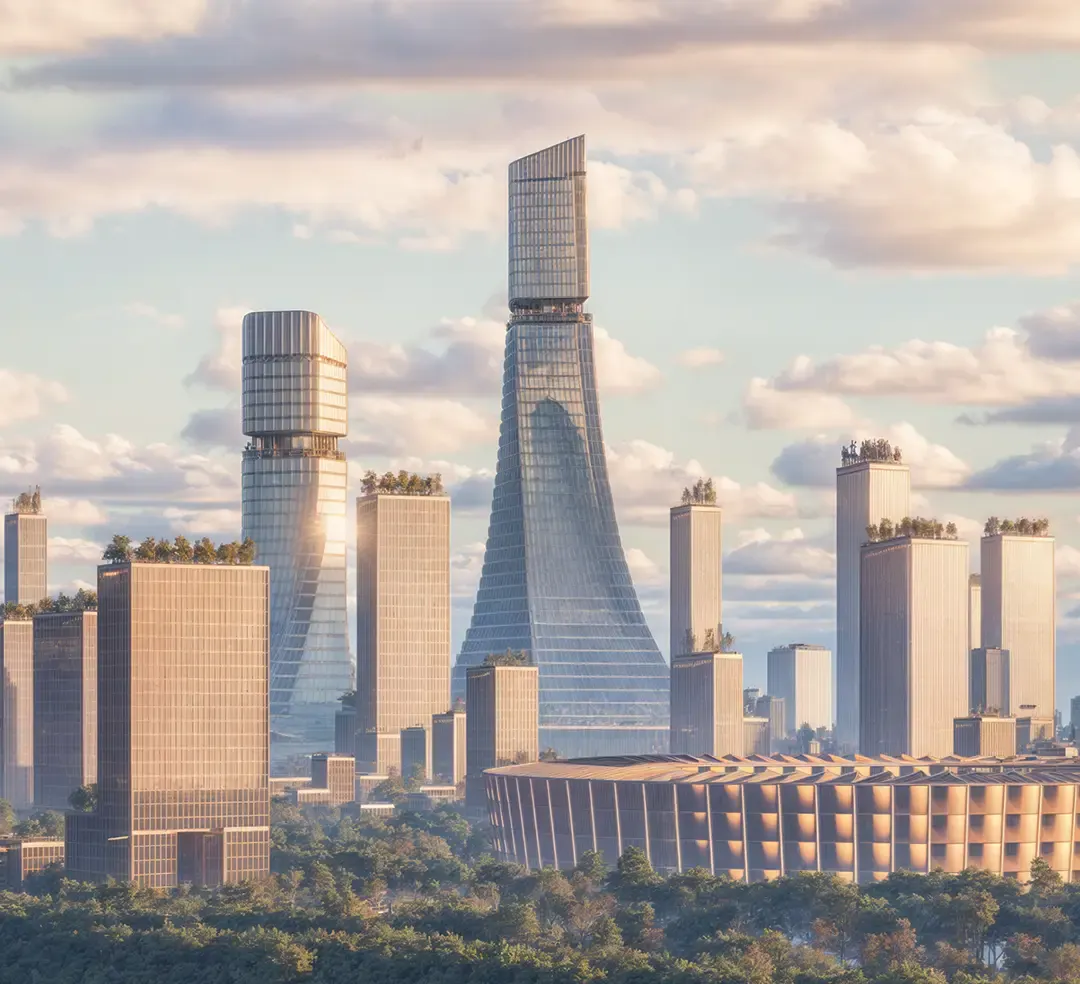
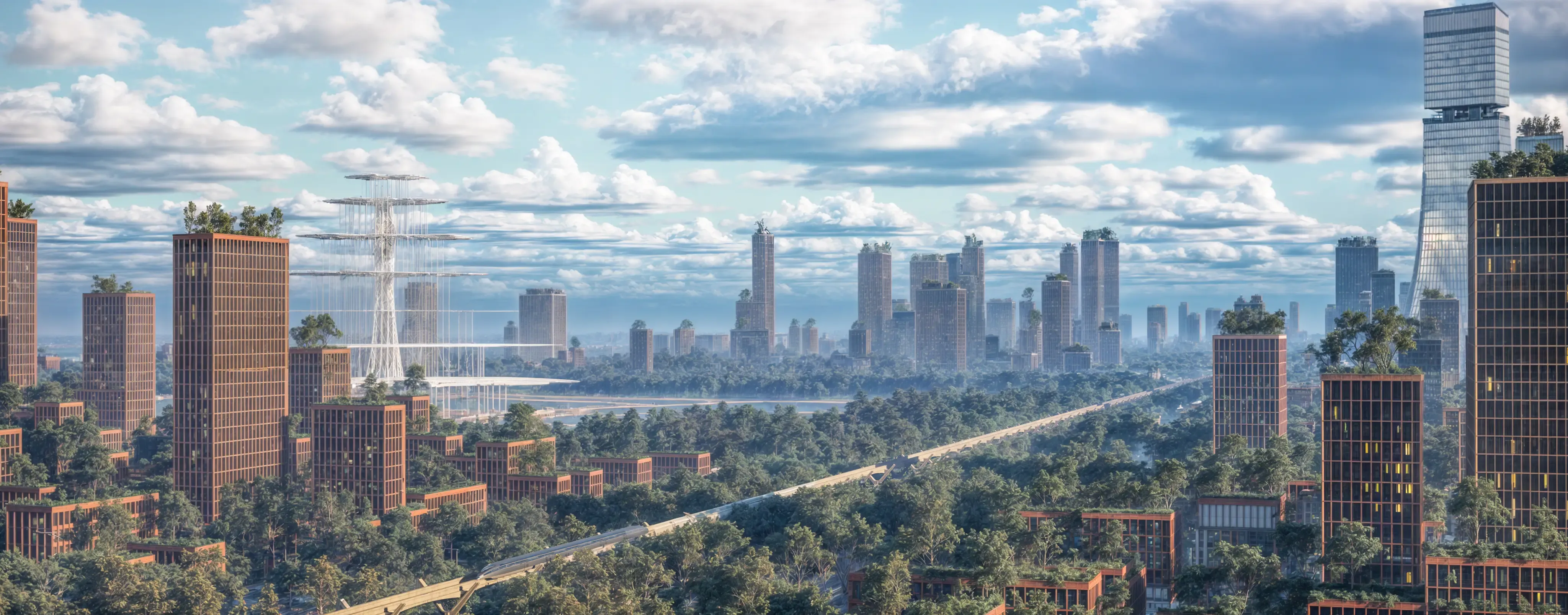
AERIAL VIEW OF KWIN CITY

The masterplan is organised around four interconnected districts: Knowledge, Health, Innovation, and Research.

Each district has a distinct identity while remaining physically and functionally connected through a shared network of streets, public spaces, ecological systems, and mobility infrastructure. This interconnected structure encourages collaboration across disciplines while allowing each district to develop according to its specific requirements.

The city is planned as a place where education, enterprise, and public life are not separated but become part of a continuous urban experience.

Planning Vision
SITE PLAN & CONTEXT
SITE PLAN & CONTEXT
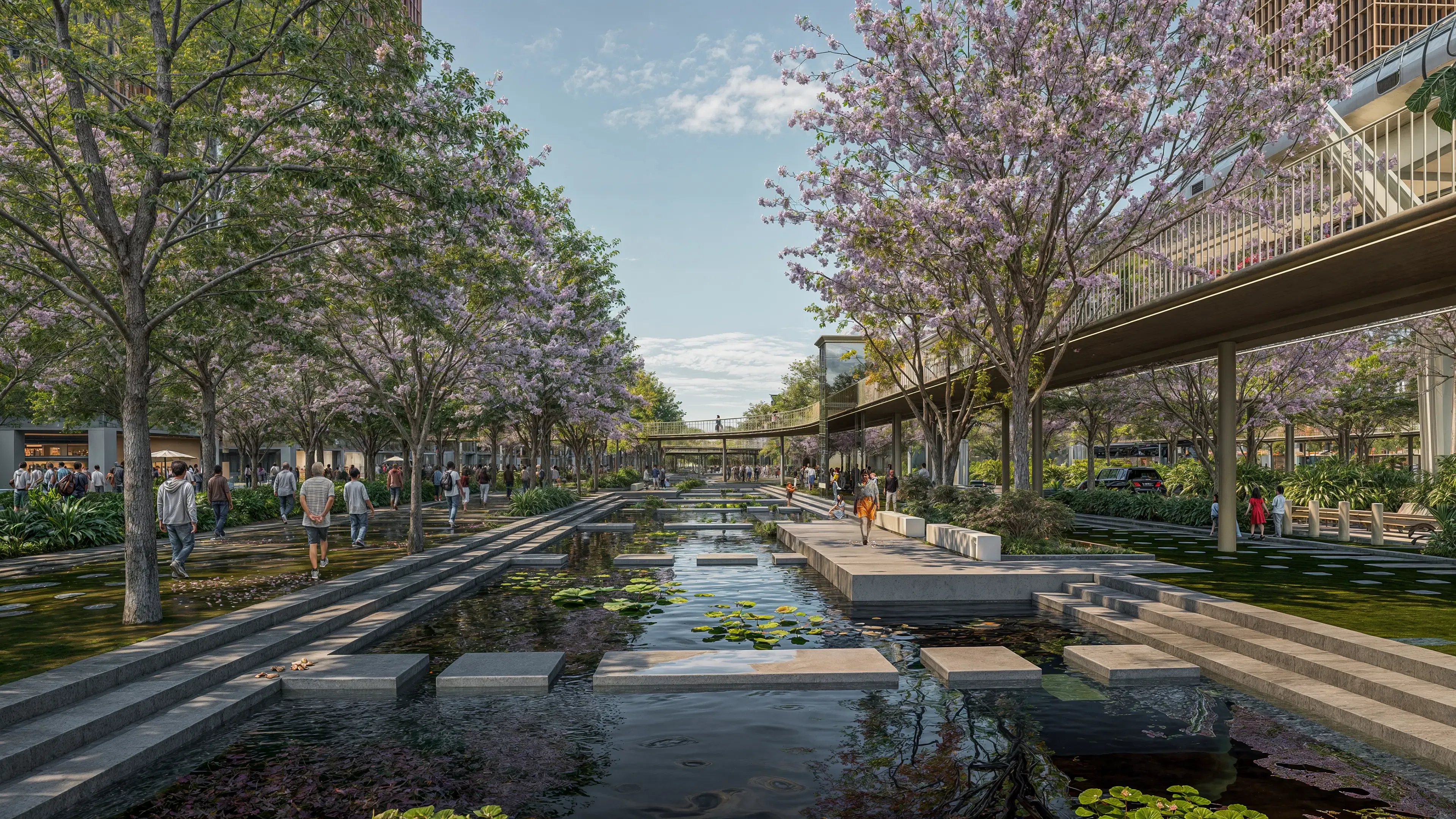
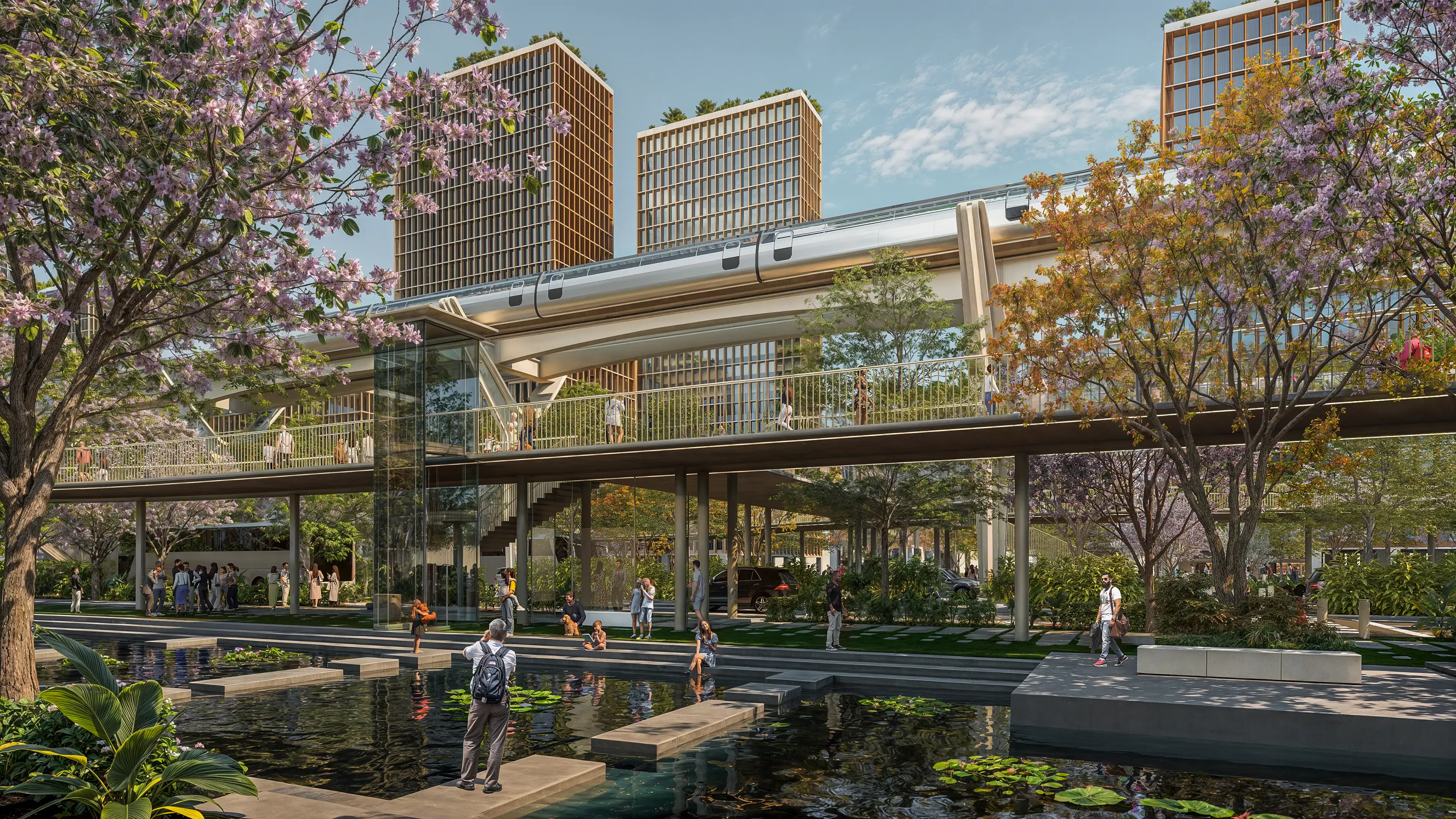
PEDESTRIAN WALKWAYS & LANDSCAPED CANAL
AERIAL VIEW OF ARTS & CULTURE DISTRICT
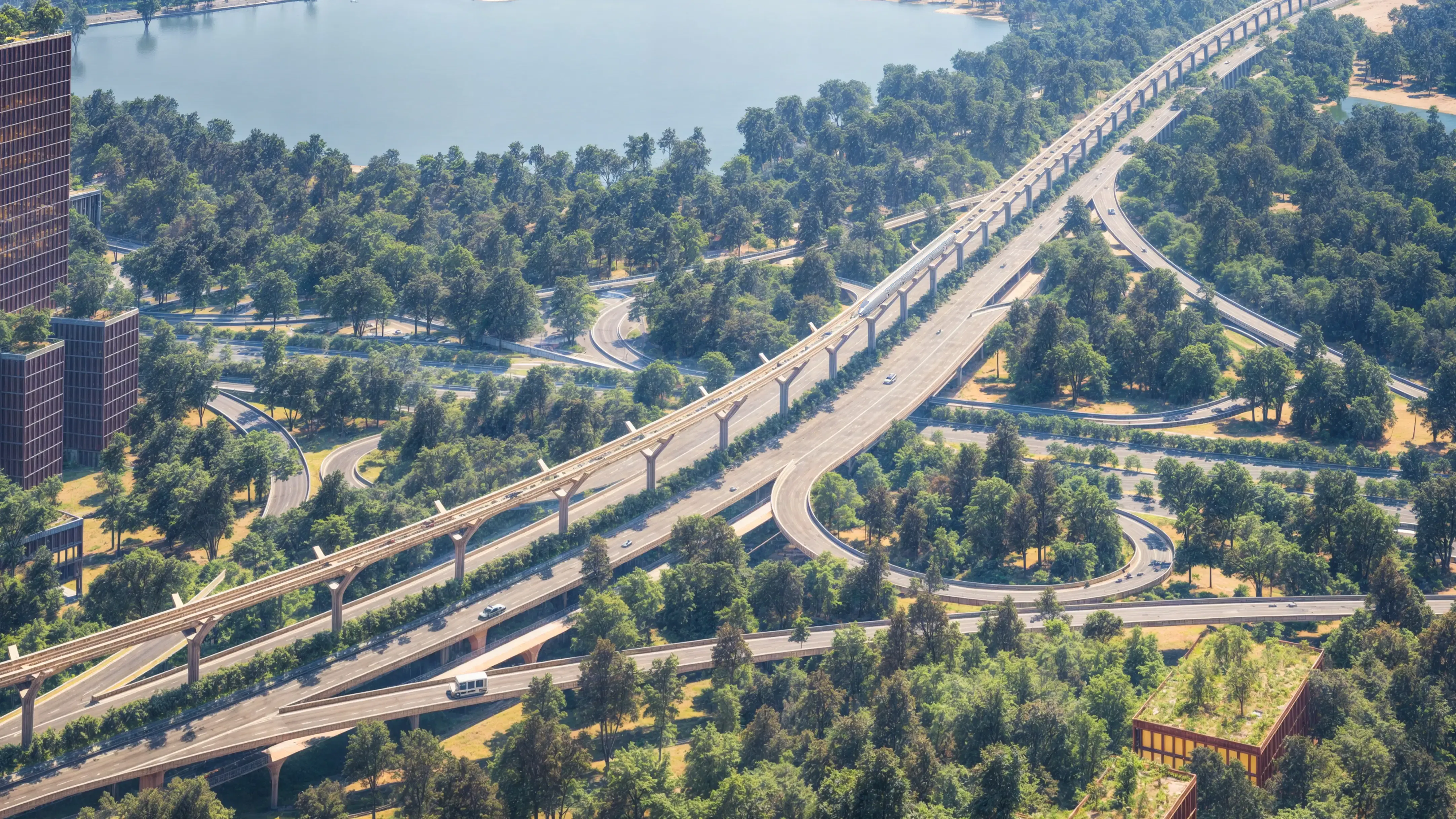
CLOVER LEAF JUNCTION CONNECTING KWIN CITY NORTH & SOUTH
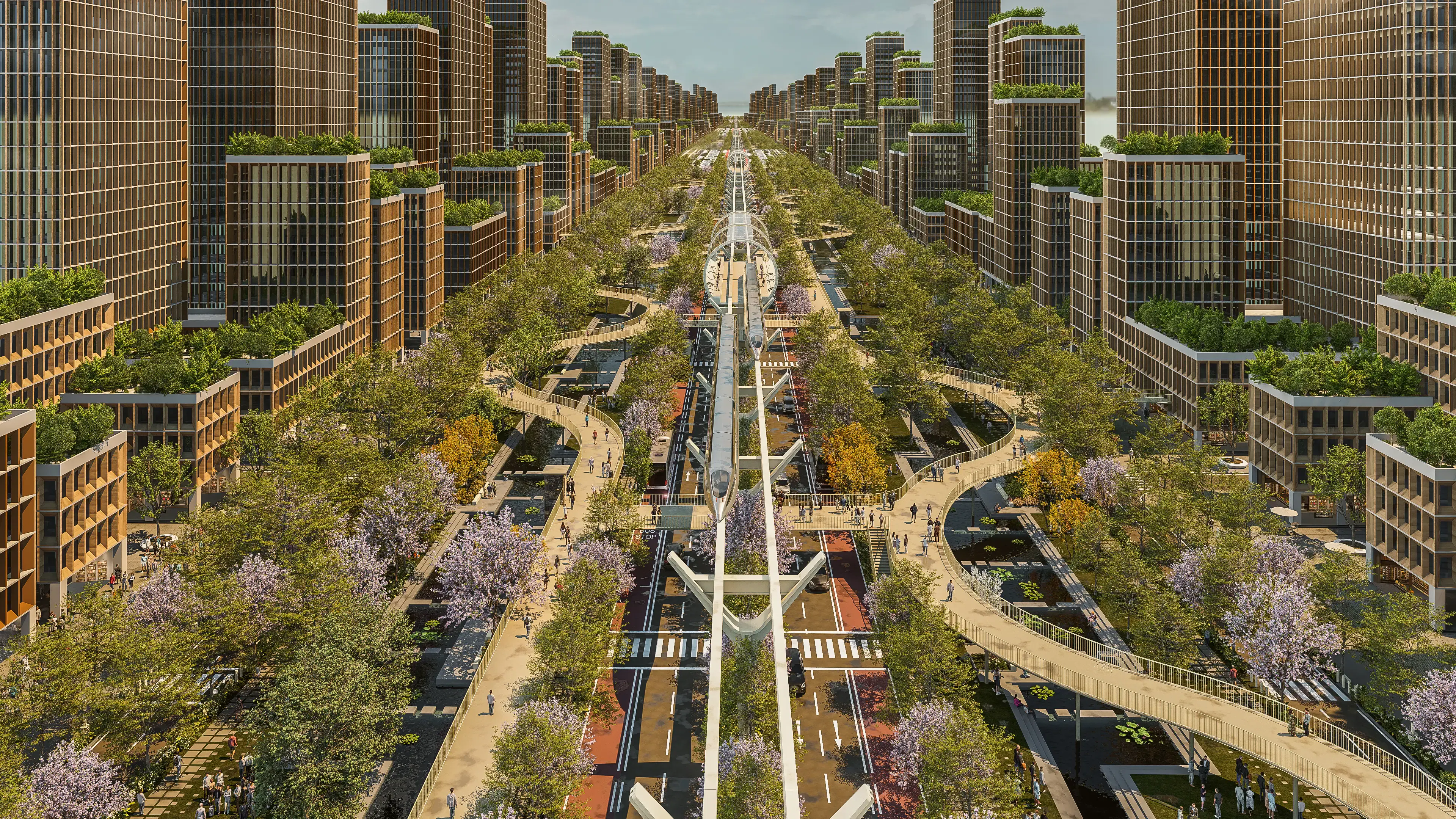
VIEW OF ARTERIAL ROAD

KWIN City's urban structure is built on a clear hierarchy of neighbourhoods, mobility corridors, open spaces, and civic destinations, creating a framework that is both legible and adaptable.

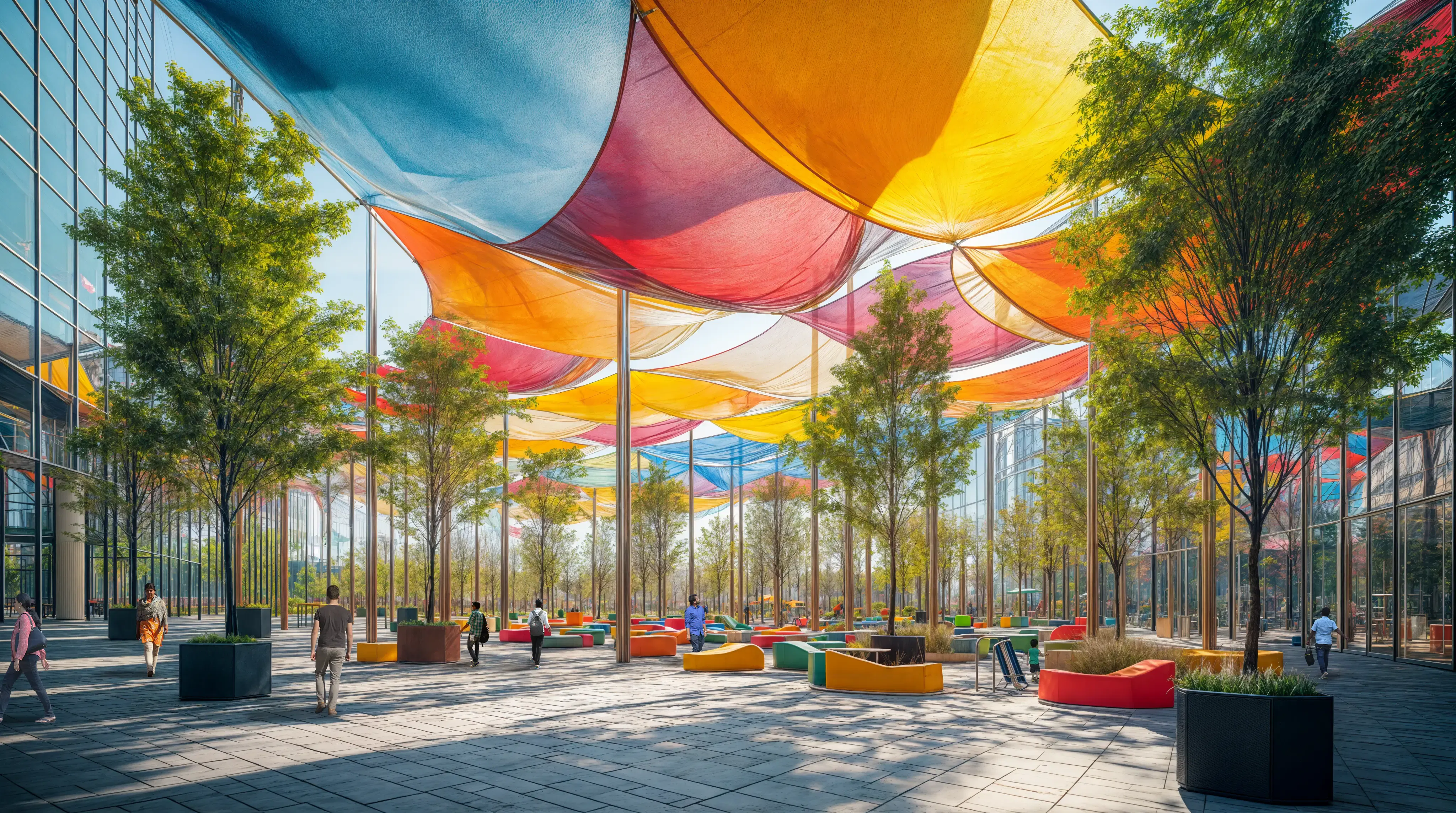
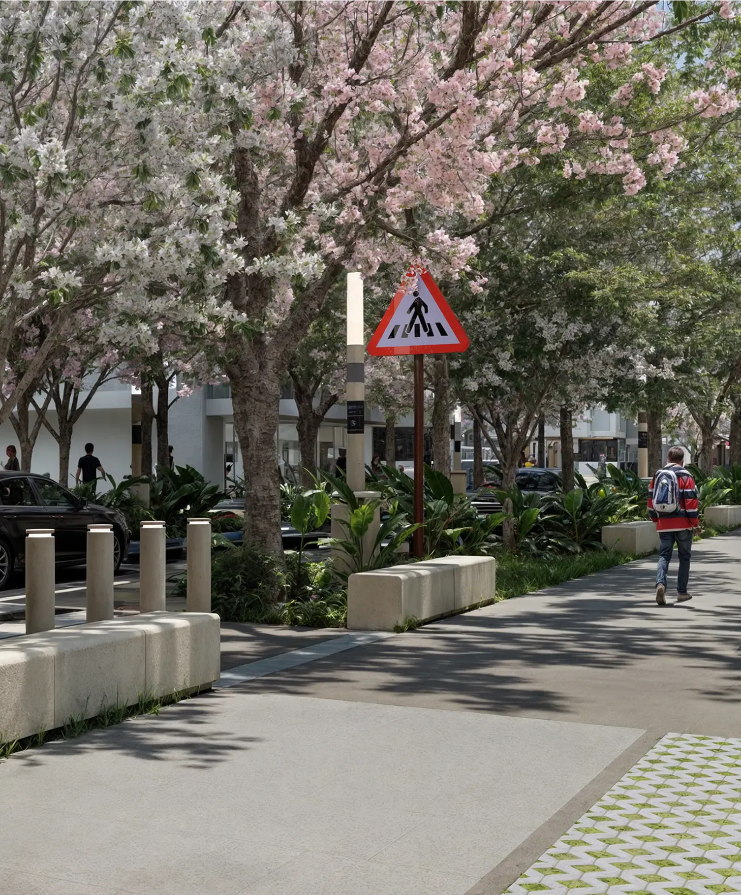
Mixed-use districts bring workplaces, educational institutions, residential communities, and public amenities within walking distance of one another, reducing dependence on long commutes and encouraging a more active, connected daily life. Streets are conceived as public spaces - places for movement, exchange, and everyday encounter.

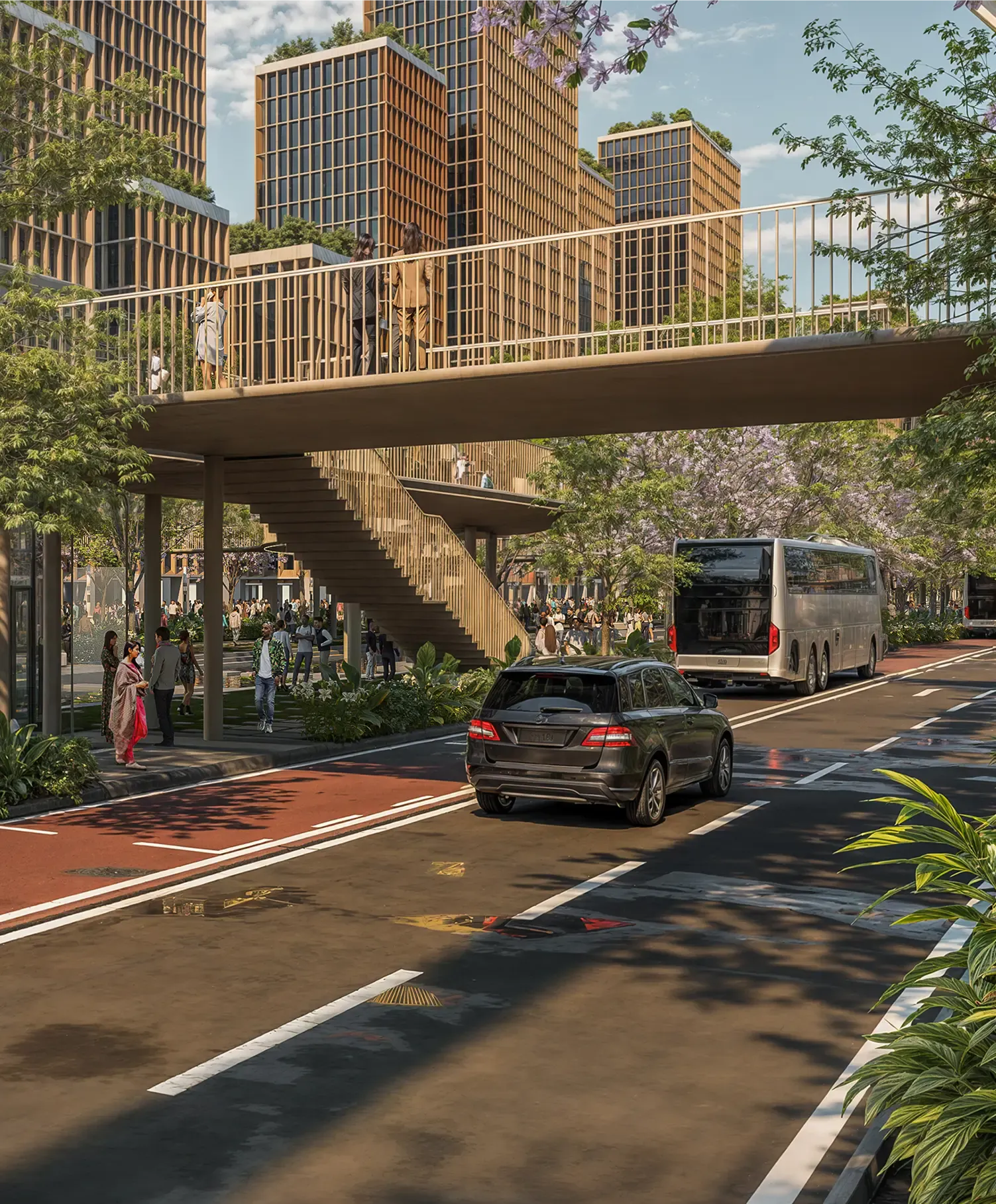
VIEW OF ELEVATED PEDESTRIAN WALKWAYS & MONORAIL CORRIDOR

Mobility is layered to match the scale of the city. A monorail runs along the central arterial spine, with stations spaced roughly every 800 metres, offering rapid, sustainable transit across districts. This is supported by a graduated road network-arterial, sub-arterial, distributor, and local roads—that channels movement efficiently from the citywide scale down to the individual block. A proposed cloverleaf intersection links KWIN City North and South and connects the district directly to the highway in all four directions. Dedicated bike lanes running alongside the arterial sub-arterial and distributor roads tie the city's parks, waterfronts, and green spaces into a continuous, active-mobility network.

Woven through this structure is a system of parks, water bodies, and ecological corridors that link the districts together, reinforcing environmental resilience while enriching everyday urban life. The masterplan's flexible framework allows the 5,800-acre development to grow and phase over time while maintaining strong connections between its districts, communities, and infrastructure.

ARTERIAL ROAD JUNCTION WITH OVERPASS
ARTERIAL ROAD JUNCTION WITH UNDERPASS
VIEW OF MIXED TRAFFIC LANE
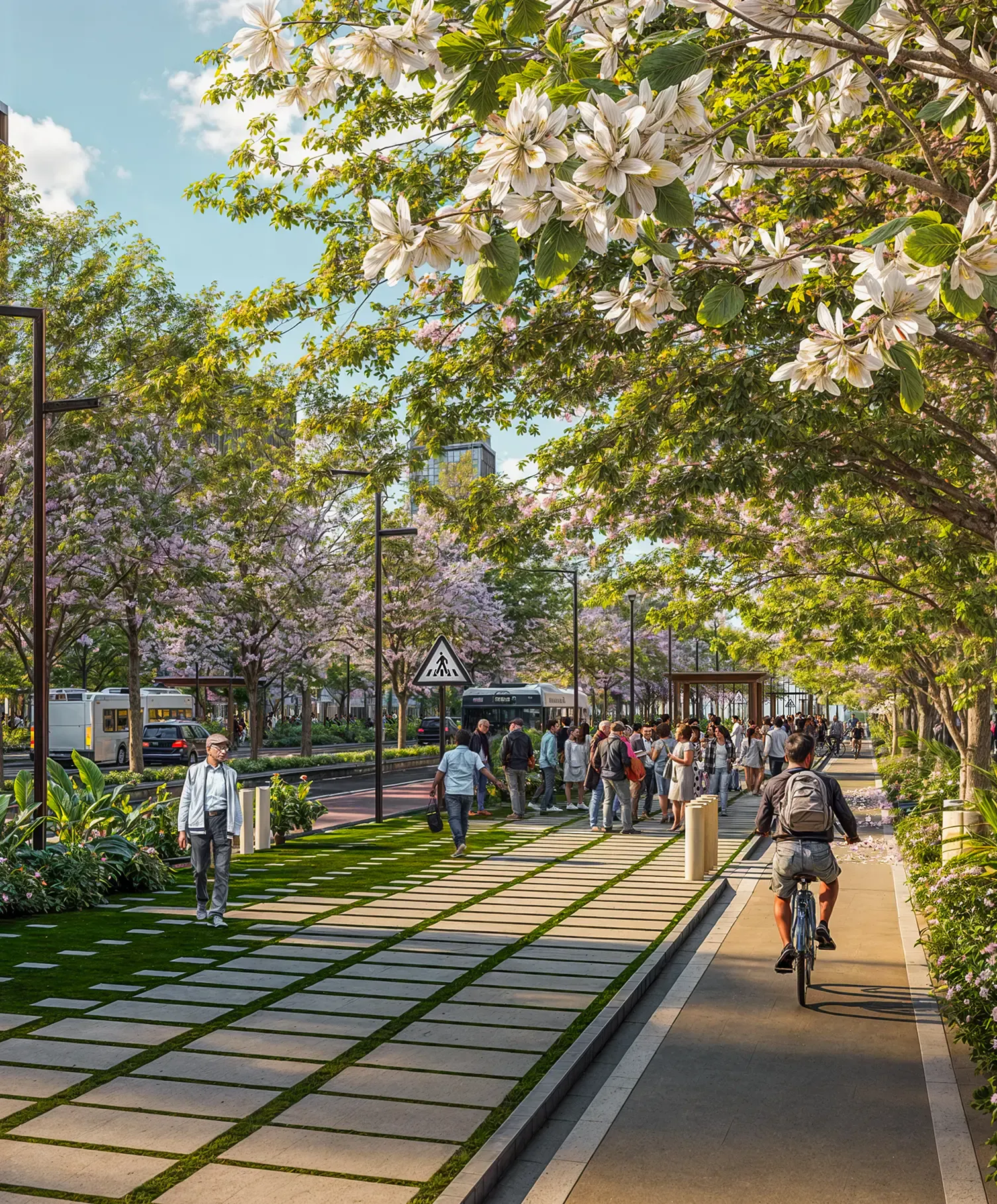
VIEW OF PEDESTRIAN WALKWAY
VIEW OF CYCLE LANE
VIEW OF CYCLE LANE
SITE AREA

5,800 ac

The 5,800-acre site provides the perfect canvas to implement smart city planning principles, including green spaces, sustainable infrastructure, and advanced public transport networks. Its size and potential for flexibility make KWIN City a flagship project, aimed at setting new standards for future urban developments.

Open Space

40%

KWIN City dedicates 40% of its area to parks, open spaces and over 10 lakes connected with various canal systems running all across the city, offering abundant recreational opportunities and natural beauty.

Local Accessibility

15 min City

KWIN City features extensive cycling paths and shaded pedestrian walkways, all designed around the concept of a 15-minute city, ensuring that essential services and amenities are within easy reach.

cycleways and pedestrian pathways

50km+

Designed to place people before vehicles, over 50 km of pedestrian and cycleways form the city's public spine, stitching together districts through movement, landscape and everyday life.

Environmental systems form an essential part of the planning framework rather than being treated as independent infrastructure.

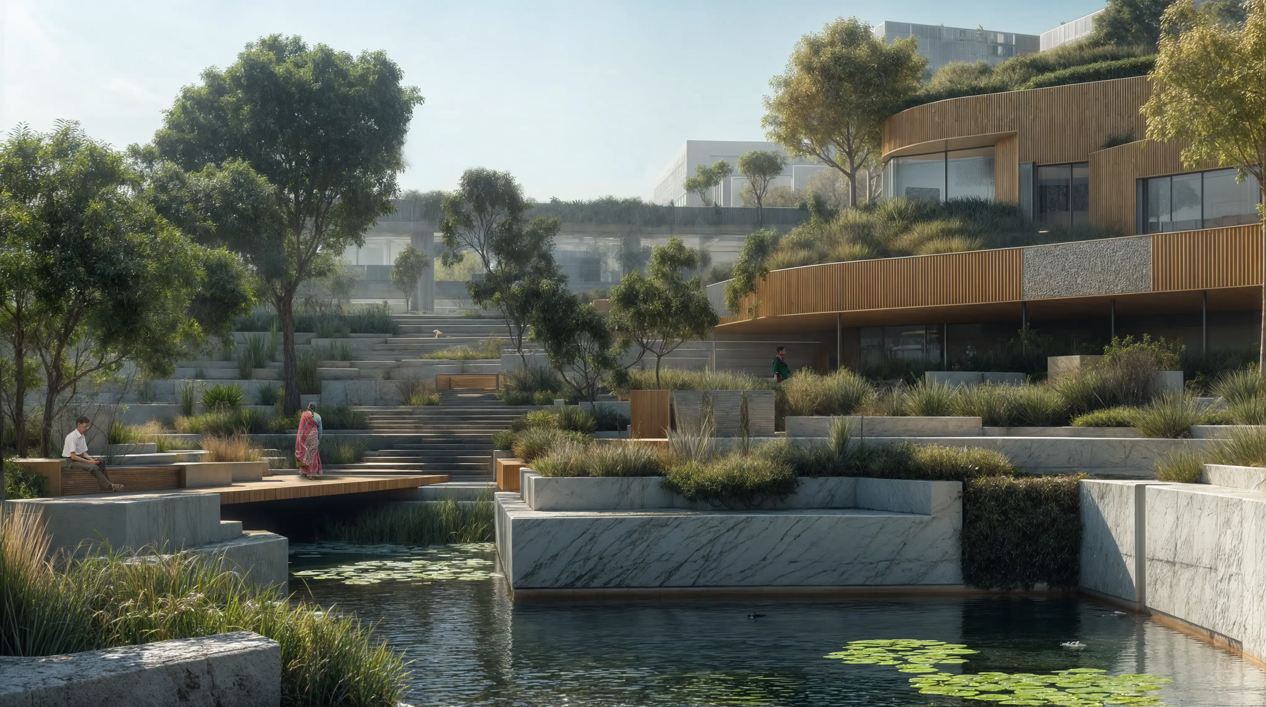
Natural drainage patterns, existing water bodies, and landscape networks are integrated into the masterplan to strengthen ecological performance and improve resilience. Green corridors, public parks, and open spaces contribute to biodiversity, climate responsiveness, and everyday recreation while establishing a continuous environmental network across the site.

The proposal also considers sustainable resource management through integrated water systems, energy-efficient infrastructure, and planning strategies that support responsible land use and long-term adaptability.

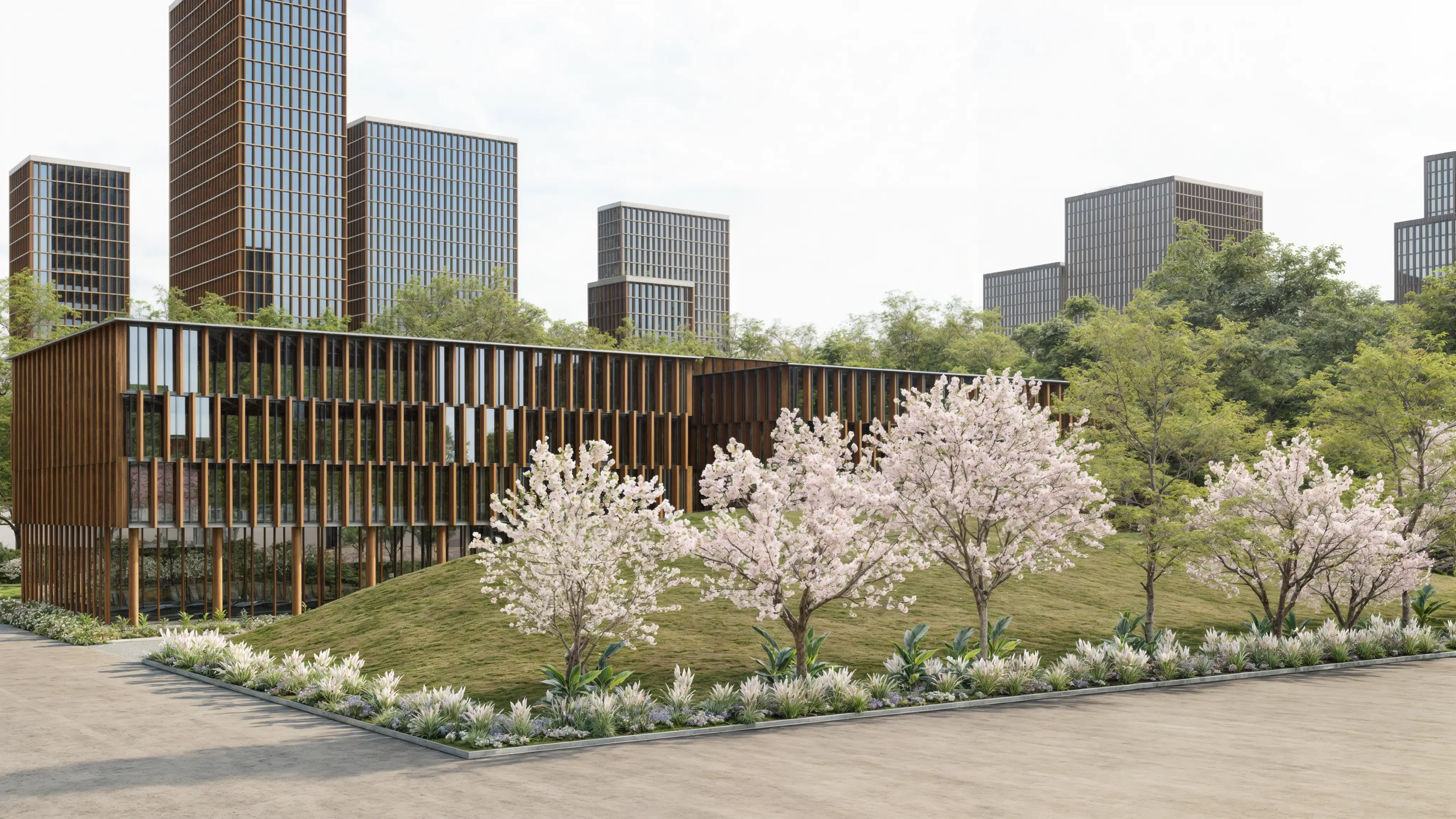
Landscape as a Learning Environment
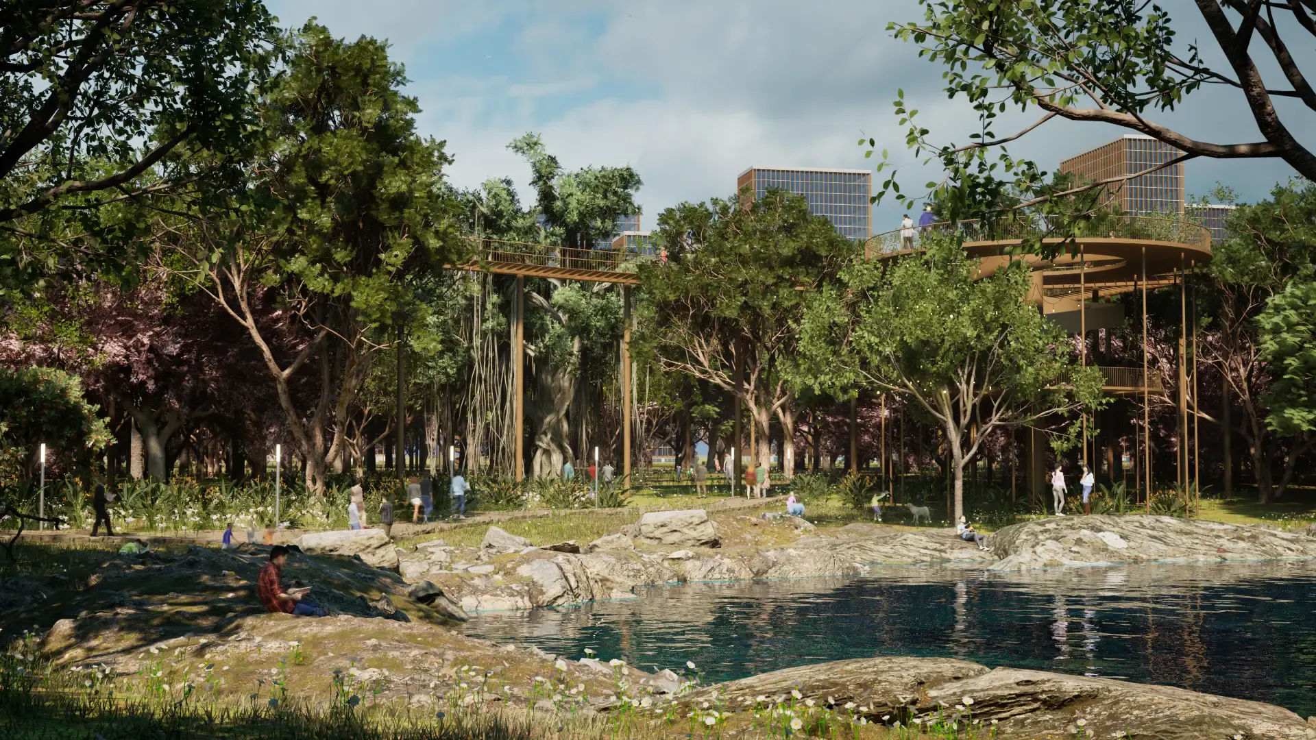
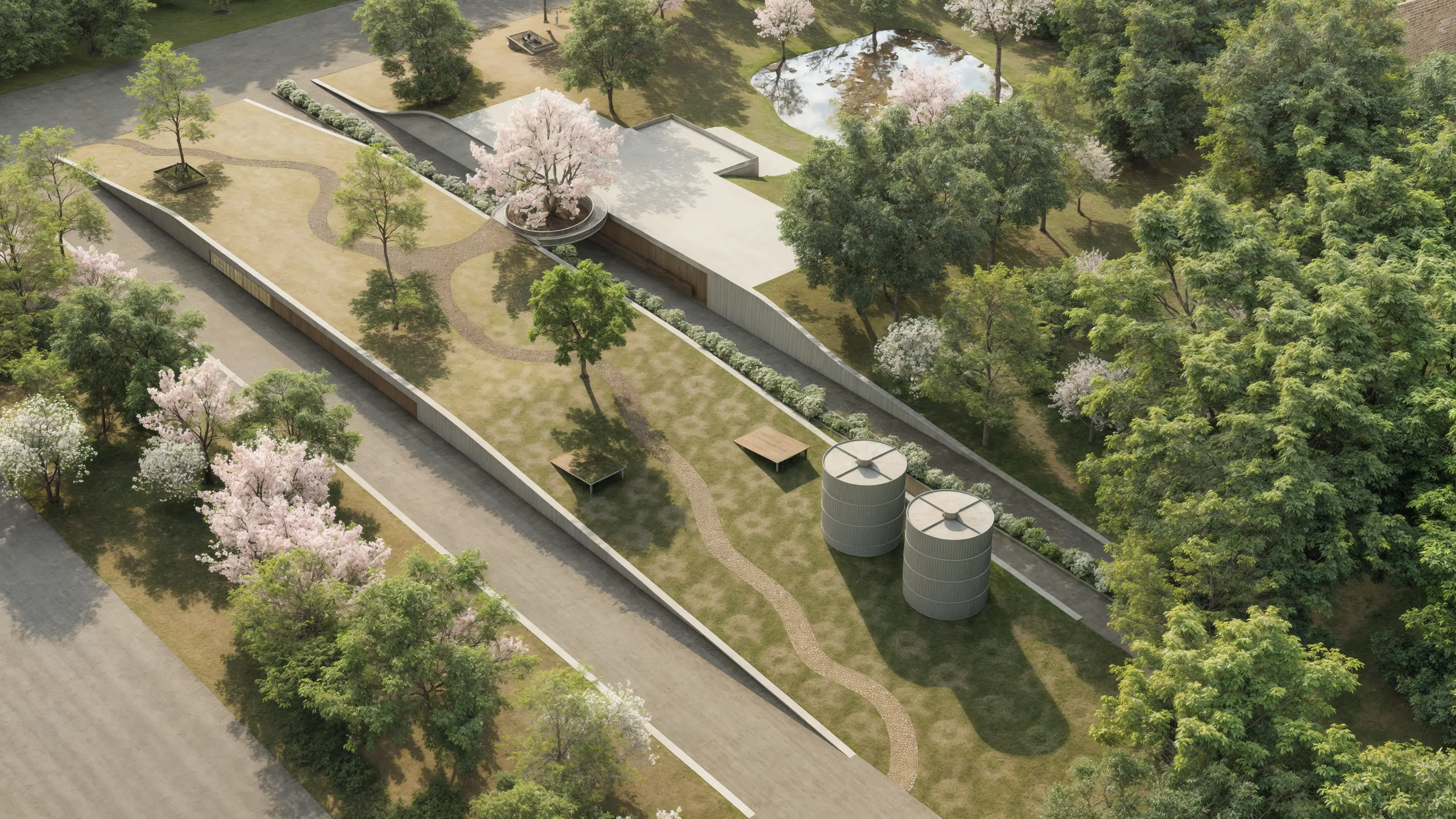
VIEW OF PARKS & OPEN SPACES
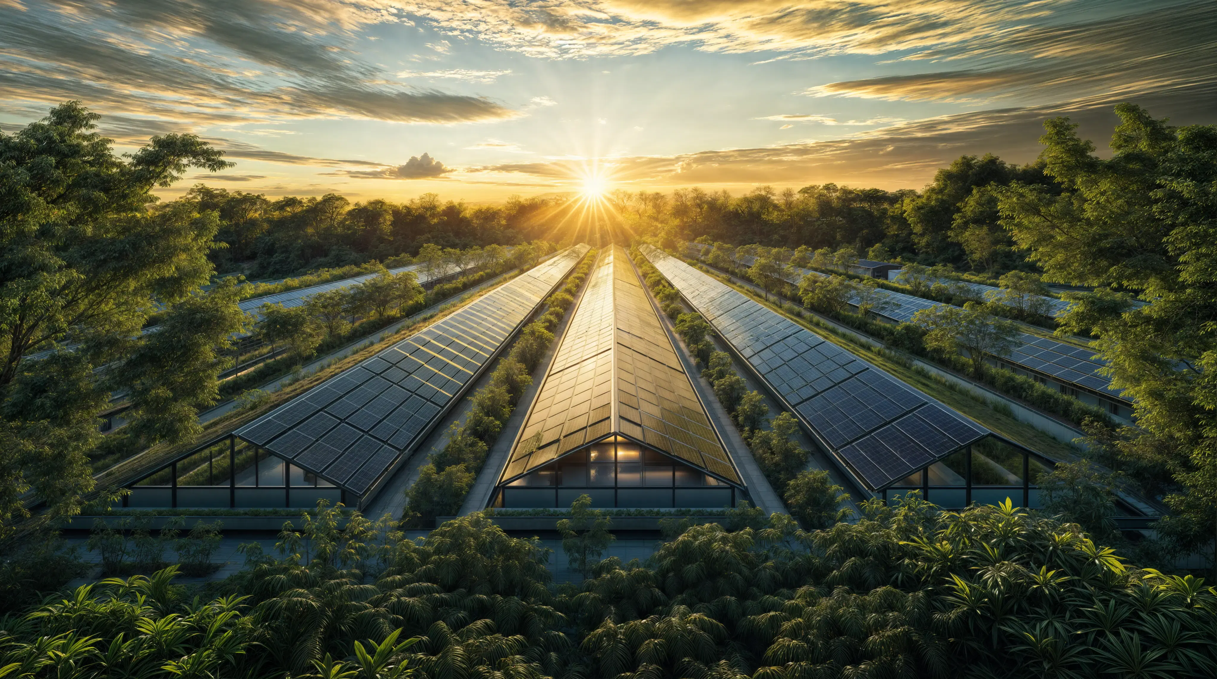
SERVICE INFRASTRUCTURE
RENEWABLE POWER
RENEWABLE POWER

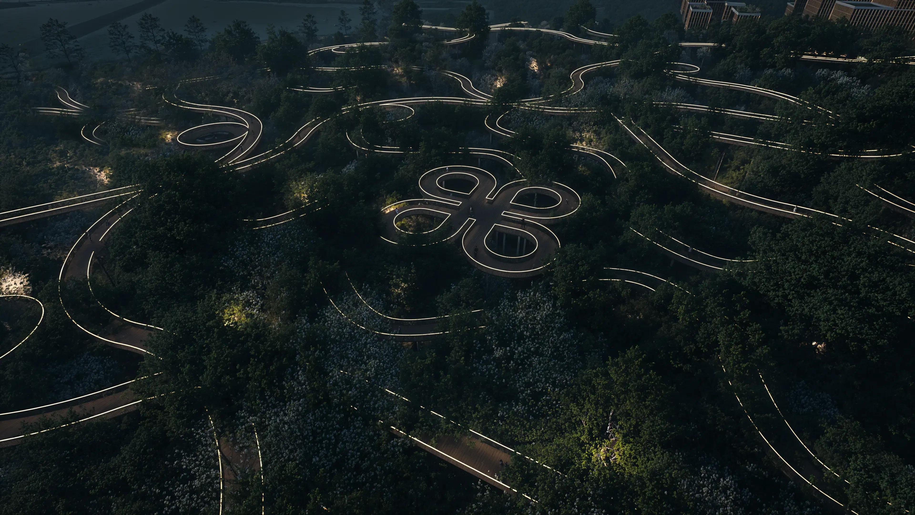
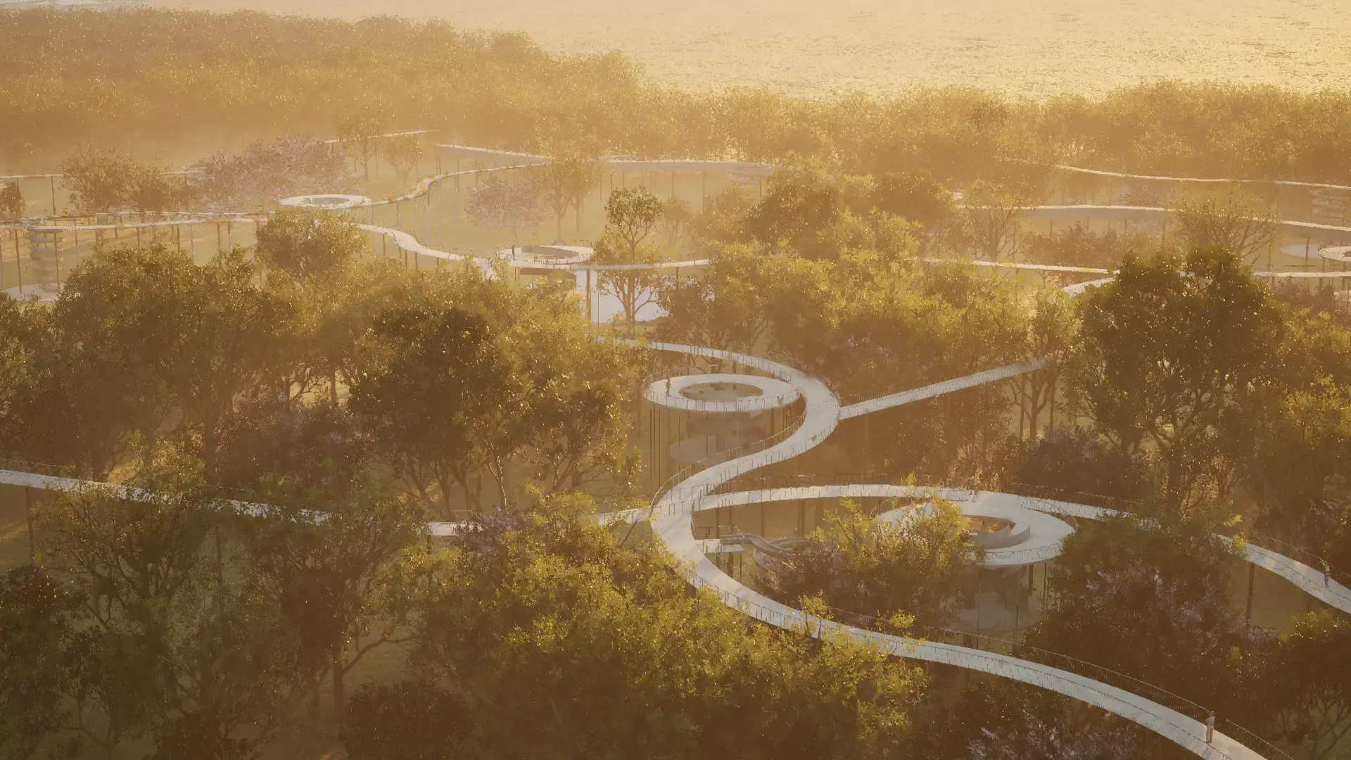
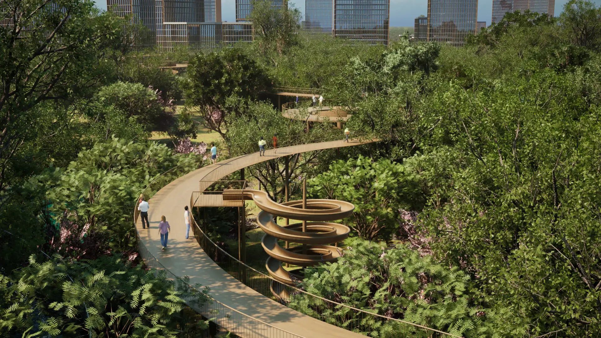
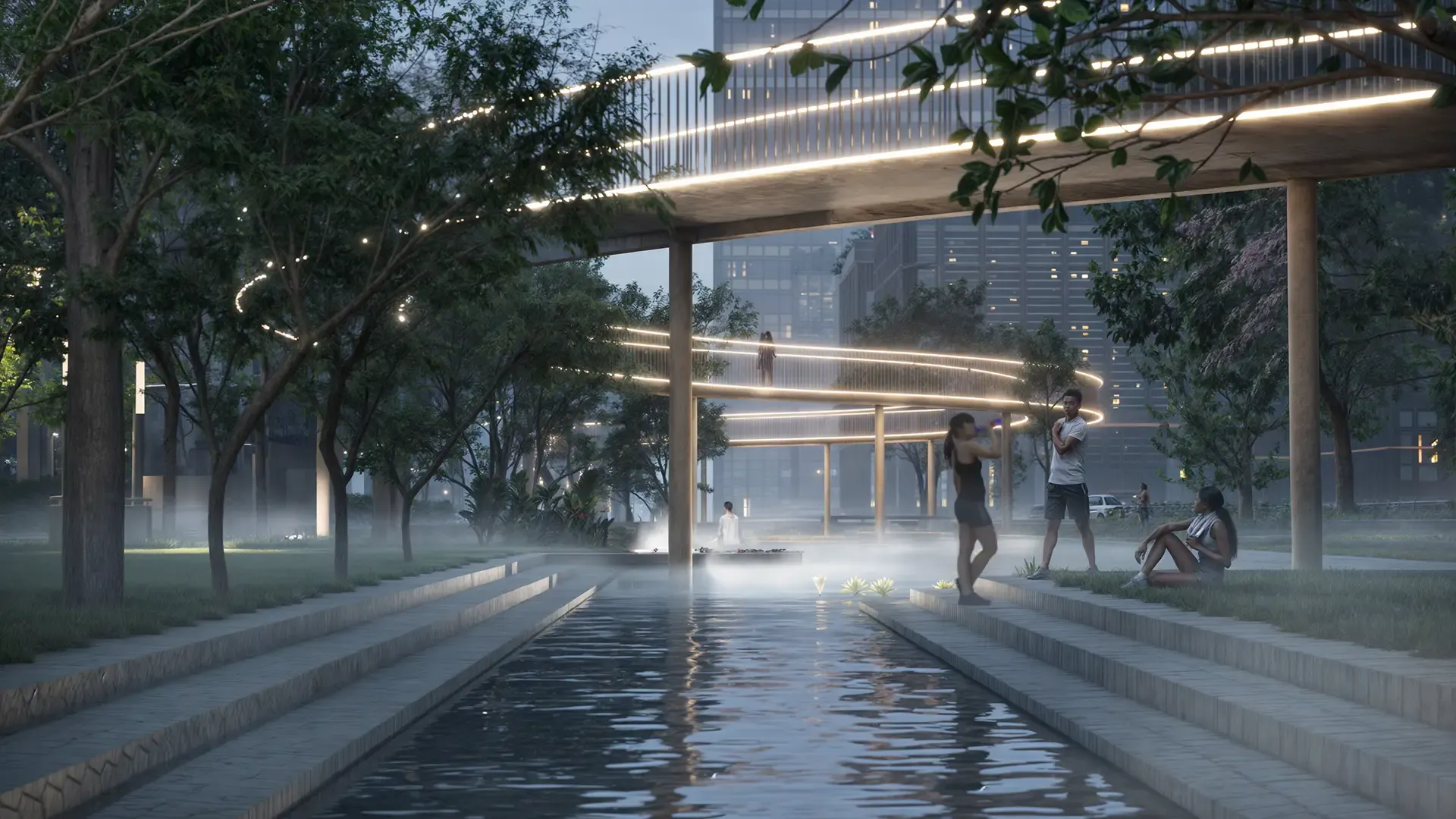
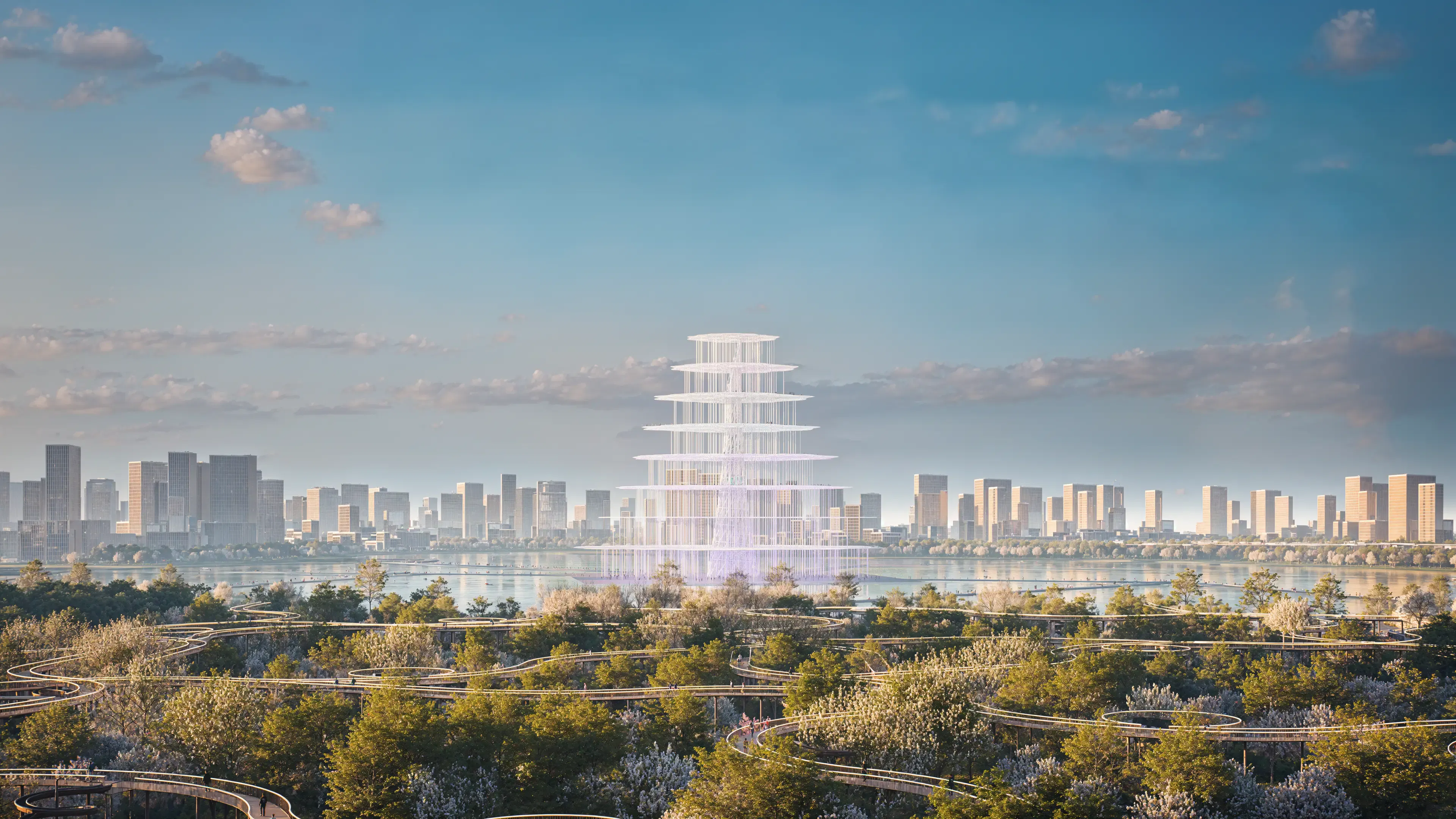
Designed as the city's elevated public spine, the walkway weaves through parks, neighbourhoods and the tree canopy, creating seamless pedestrian connections while transforming everyday movement into an immersive experience of landscape and place. Extending the principles of the 15-minute city, it brings everyday destinations within a comfortable walk, placing people—not vehicles—at the heart of urban life.

AERIAL VIEW OF PARK AND ELEVATED WALKWAY
AERIAL VIEW OF ELEVATED WALKWAYS & CYCLEWAYS
VIEW OF PARKS & OPEN SPACES
VIEW OF CANAL & ELEVATED WALKWAY AT NIGHT
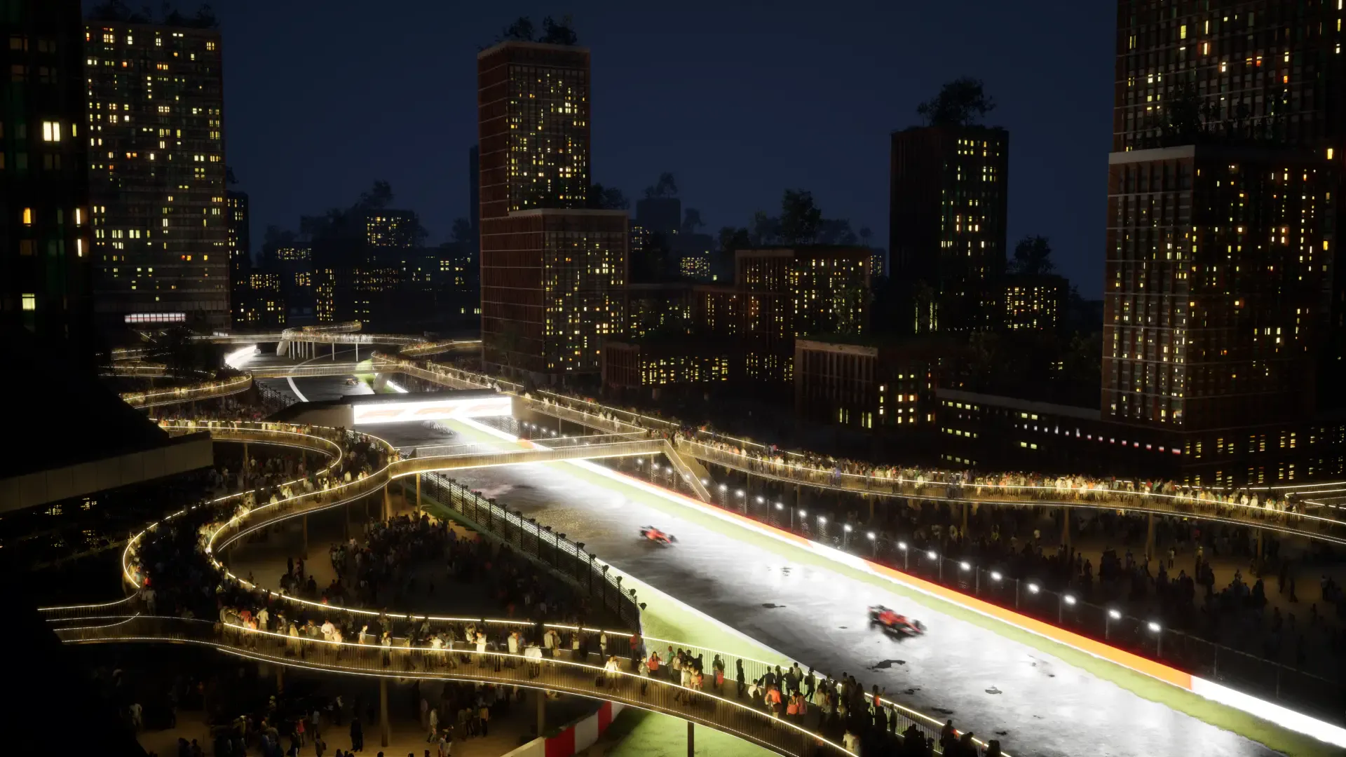
VIEW OF RACE TRACK
VIEW OF RACE TRACK

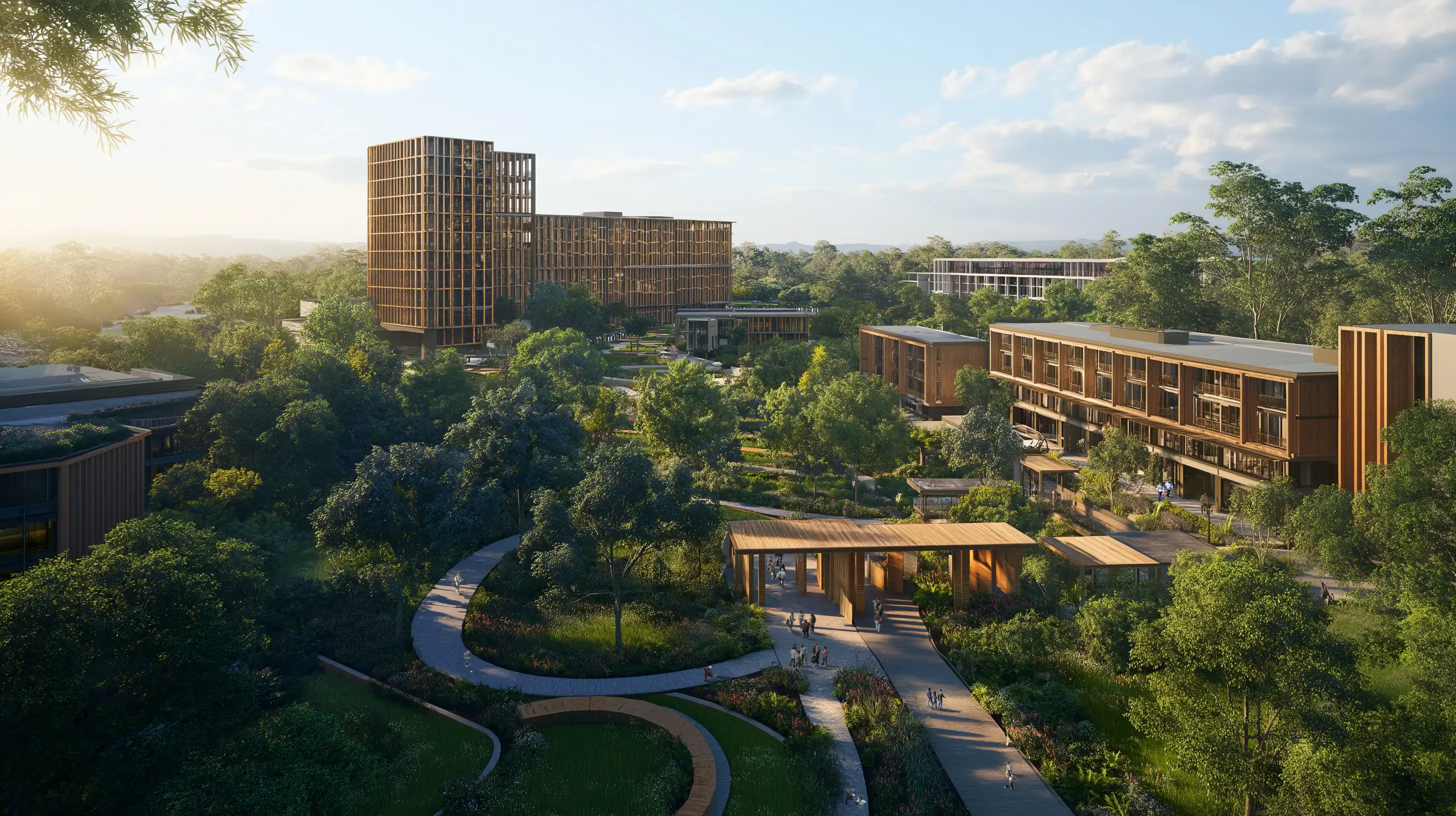
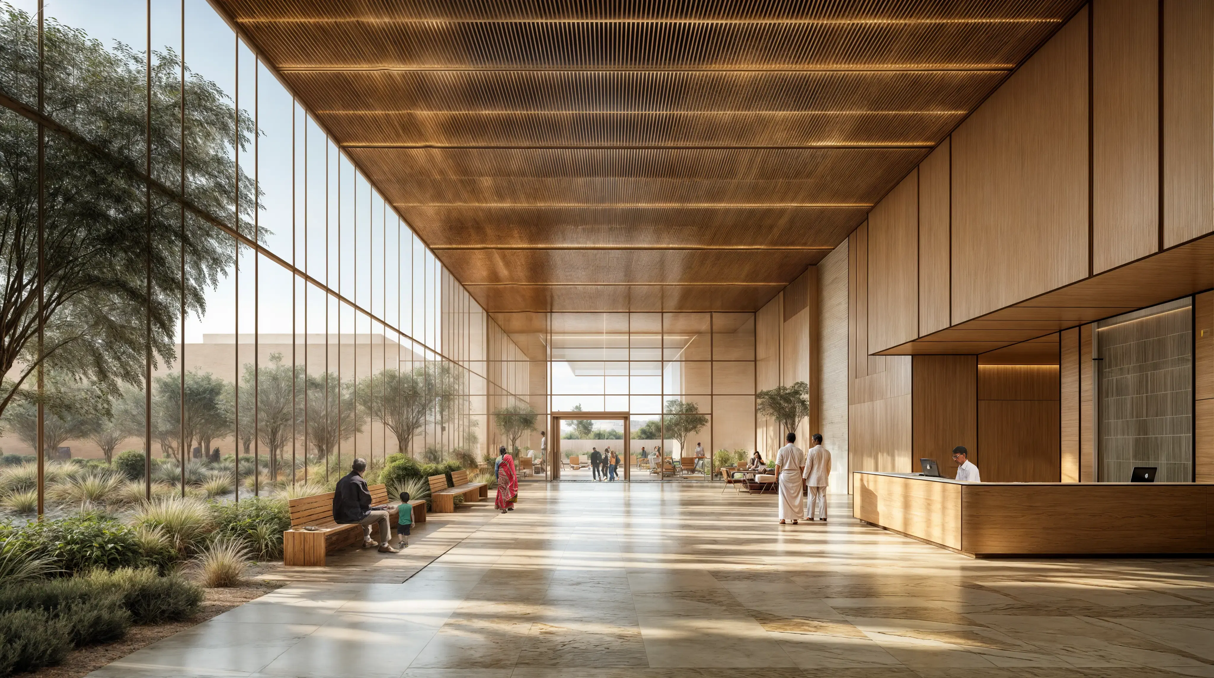
Designed around a connected live-work-learn model, KWIN City integrates housing, education, healthcare and employment within walkable neighbourhoods.

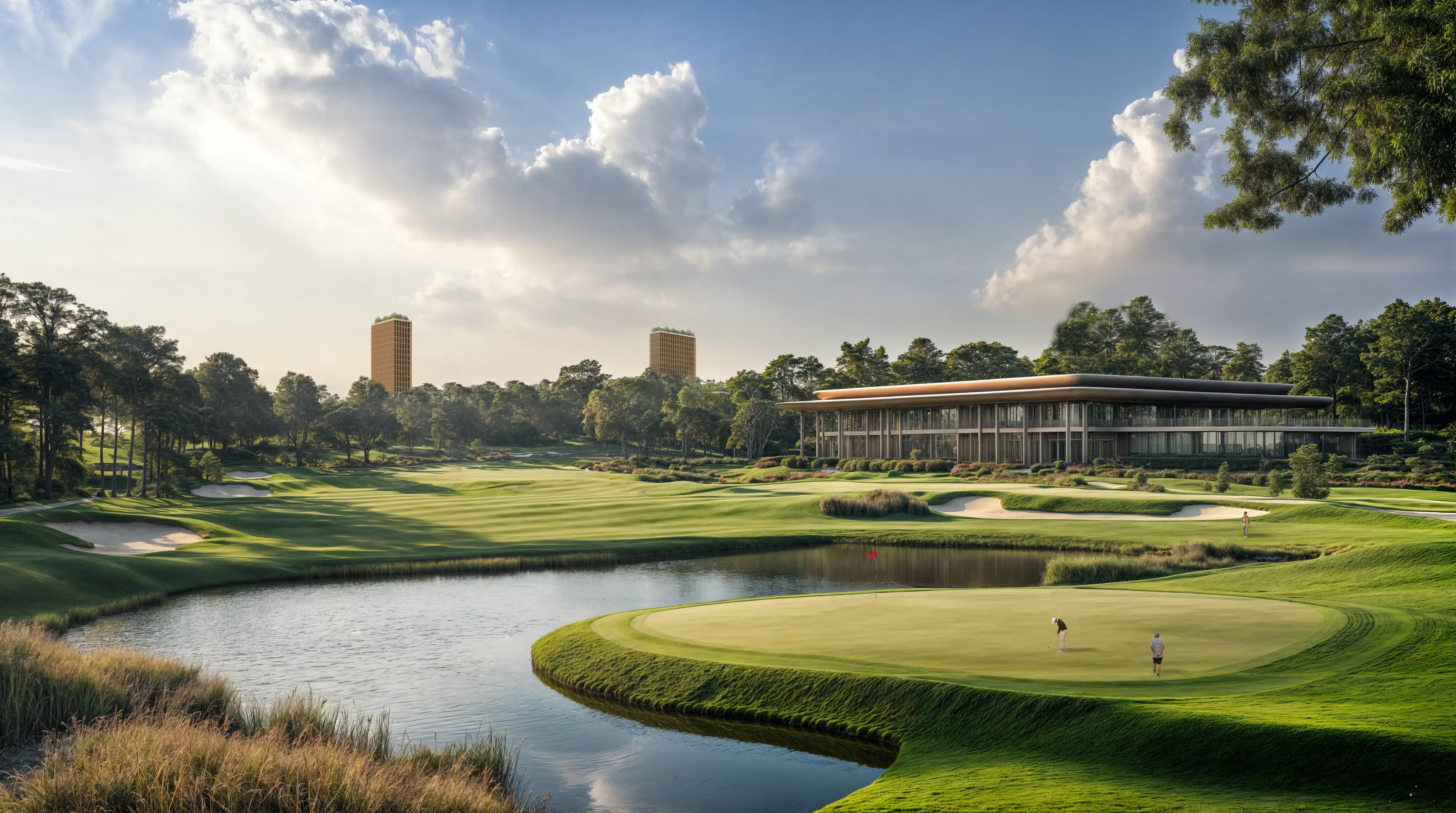
With 40% of the city dedicated to parks and open spaces and a network of over ten lakes, the masterplan places quality of life, recreation and community at the heart of everyday urban life.

Landscape as a Learning Environment
After
Before

KWIN City presents a long-term framework for urban development that places knowledge, well-being, and innovation at the centre of city-making.

Through an integrated masterplan that connects education, healthcare, research, technology, industry, ecology, and public life, the proposal establishes a foundation for future growth while responding to the evolving needs of the region.

The project demonstrates how large-scale planning can move beyond land allocation to create meaningful relationships between people, institutions, infrastructure, and landscape. By strengthening these connections, the masterplan aspires to support an inclusive, resilient, and adaptable urban environment capable of evolving with future generations.

PROJECT OUTCOME